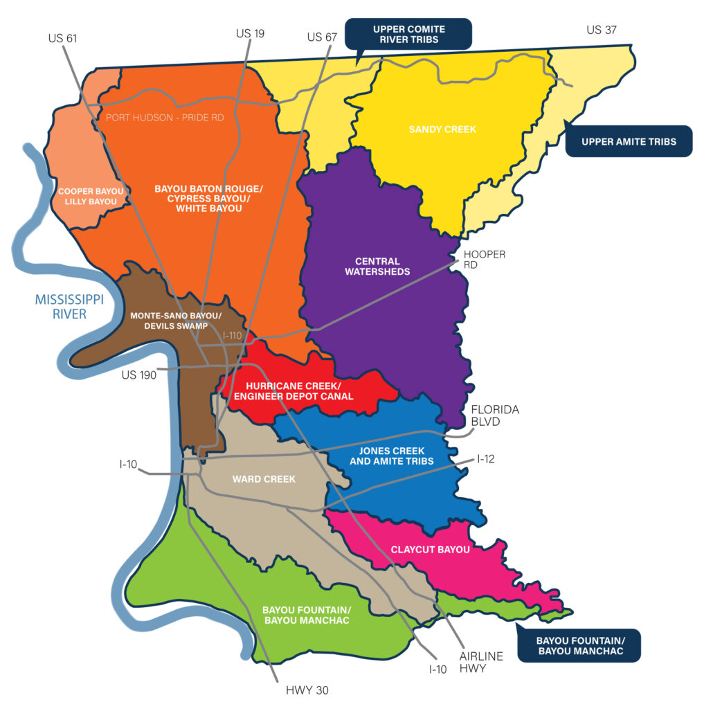
High-Level EBR Stormwater Master Plan Watershed Map
Search our Interactive Watershed Map
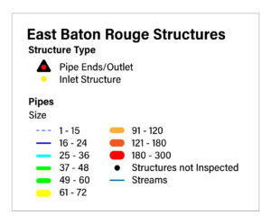
You may search by street address by typing into the search bar, or simply explore the map by panning, zooming, and clicking to reveal more details. The color-coded circles represent stream gauges with up to the hour information, and the color-filled regions represent the watersheds of bayous and streams in East Baton Rouge Parish. The bold black boundaries represent watershed study area boundaries utilized in this stormwater master plan. Map layers can be toggled on/off and a legend is available by clicking the buttons along the right-hand edge of the window.
Click to open full-screen in a new window.


