PUBLISHED FEBRUARY, 17 2023
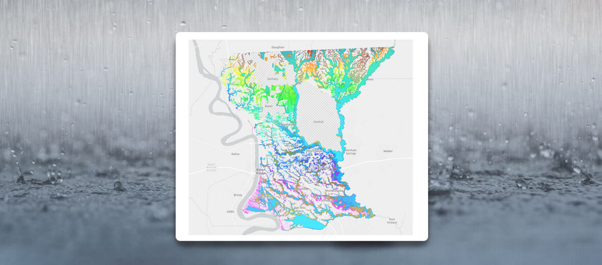
Baton Rouge- The City of Baton Rouge and Parish of East Baton Rouge GIS Department has published the Stormwater Master Plan Map for public review.
Among other features, the map demonstrates layers of the floodplain conveyance zones and community-defined special flood hazard areas. The Parish applied the hydraulic model and data to recognize flood hazard risks for better understanding of when, where, and why flooding occurs. The model also assesses different recommendations to test their efficacy in a variety of scenarios.
The Parish faced widespread flooding in August of 2016. East Baton Rouge Parish initiated the Stormwater Master Plan for the implementation of overall flood risk projects and policies for the City-Parish. The map seeks to highlight problems with conveyance systems and drainage concerns. The public in invited to view the Stormwater map and leave feedback at: Stormwater Master Plan Map (arcgis.com)
For additional information on the Stormwater map, please contact the East Baton Rouge GIS Department at 225-389-3070 or gi*@**la.gov.
